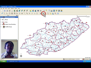
Title: Introduction to GIS
Summary: Understand what GIS is and for what it can be used. With a GIS application, you can open digital maps on your computer, create new spatial information to add to a map, create printed maps customised to your needs and perform spatial analysis. This video explores the basic concepts behind geographical information systems.
Producer: Chief Directorate: Spatial Planning & Information, Department of Land Affairs, Eastern Cape, South Africa
Director: Tim Sutton
Source language: English; Subtitles: none
Genre: Tutorial
Duration: 5:49
License: Attribution-Noncommercial-No Derivative Works 3.0 Unported
Recommended for use in Module(s): M12
File Format: mov
Note: This video production is available on Disk No. 2
