
Title: Raster Data
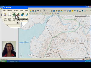
Summary: Discover the different kinds of raster data and how they can be used in GIS. Raster data are arranged in a matrix of cells. Each cell in the matrix has a value. When viewed as a whole, the raster looks like an image. This video takes a closer look at raster data.
Producer: Chief Directorate: Spatial Planning & Information, Department of Land Affairs, Eastern Cape, South Africa
Director: Tim Sutton
Source language: English; Subtitles: none
Genre: Tutorial
Duration: 10:22
License: Attribution-Noncommercial-No Derivative Works 3.0 Unported
Recommended for use in Module(s): M12
File Format: mov
Note: This video production is available on Disk No. 2
