
Title: Spatial Analysis: Raster Data
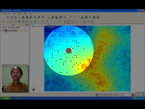
Summary: Understand interpolation as part of spatial analysis. Spatial interpolation is the process of using points with known values to estimate values at other unknown points. This video describes interpolation in more detail and gives some examples of how it can be useful.
Producer: Chief Directorate: Spatial Planning & Information, Department of Land Affairs, Eastern Cape, South Africa
Director: Tim Sutton
Source language: English; Subtitles: none
Genre: Tutorial
Duration: 8:53
License: Attribution-Noncommercial-No Derivative Works 3.0 Unported
Recommended for use in Module(s): M12
File Format: mov
Note: This video production is available on Disk No. 2
